Rockville Hills
|
Rockville Hills
|

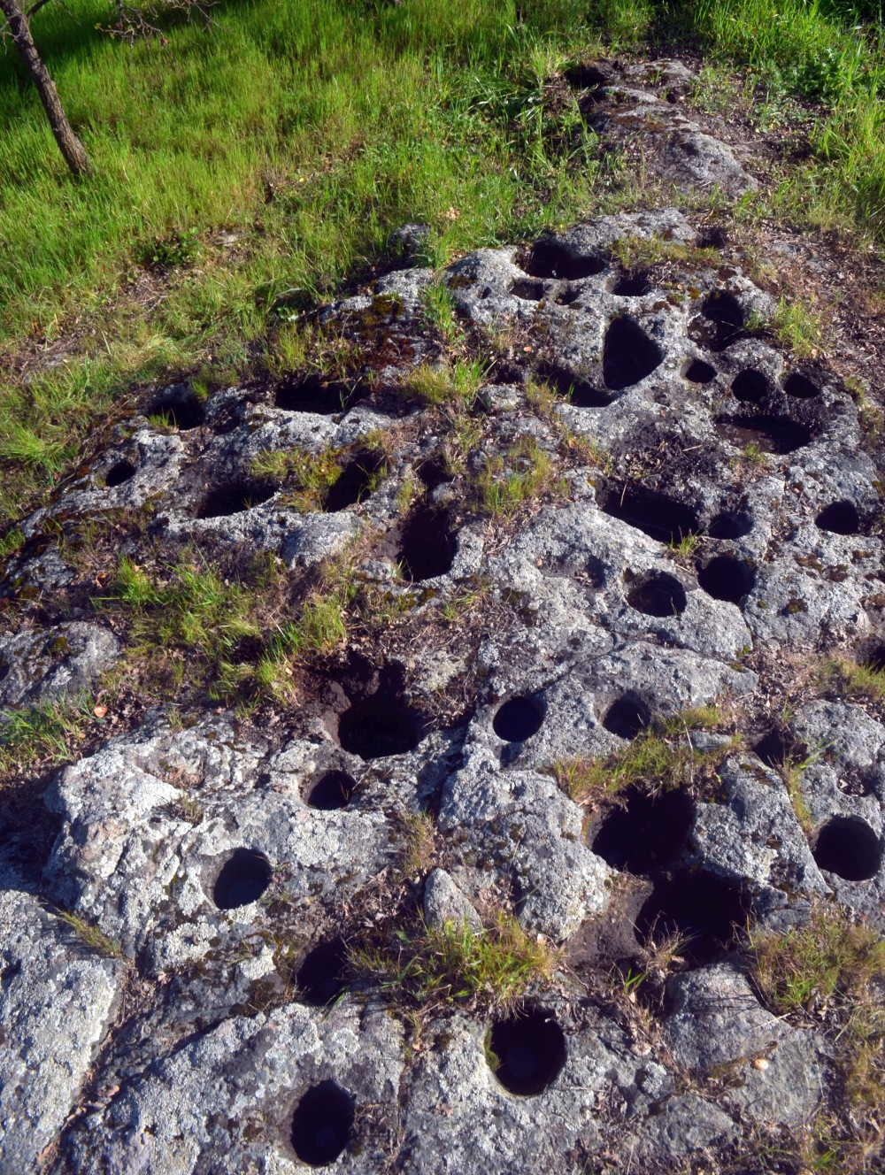 |
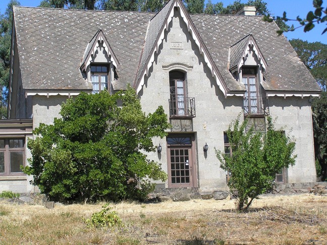
Martin House (Stonedene Mansion) site (private property - no public access allowed)
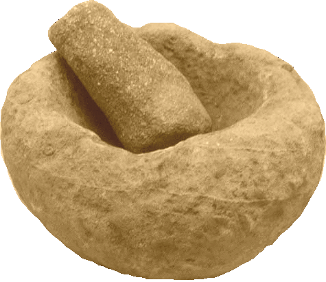
This site is a stone slab, and nearby isolated outcrop with over 90 bedrock mortars. The site is in a fenced-in lot behind the historic Stonedene mansion (Samuel Martin House), which is presently used as an office by a development company. However, the lot with the mortars, so far as we know, is owned either by the City of Fairfield or by a non-profit group. There is presently no public access, but there were plans at one time to make the site a historic park with a museum, so it may open up to the public in the future (see Low, 1996 for more information).
|
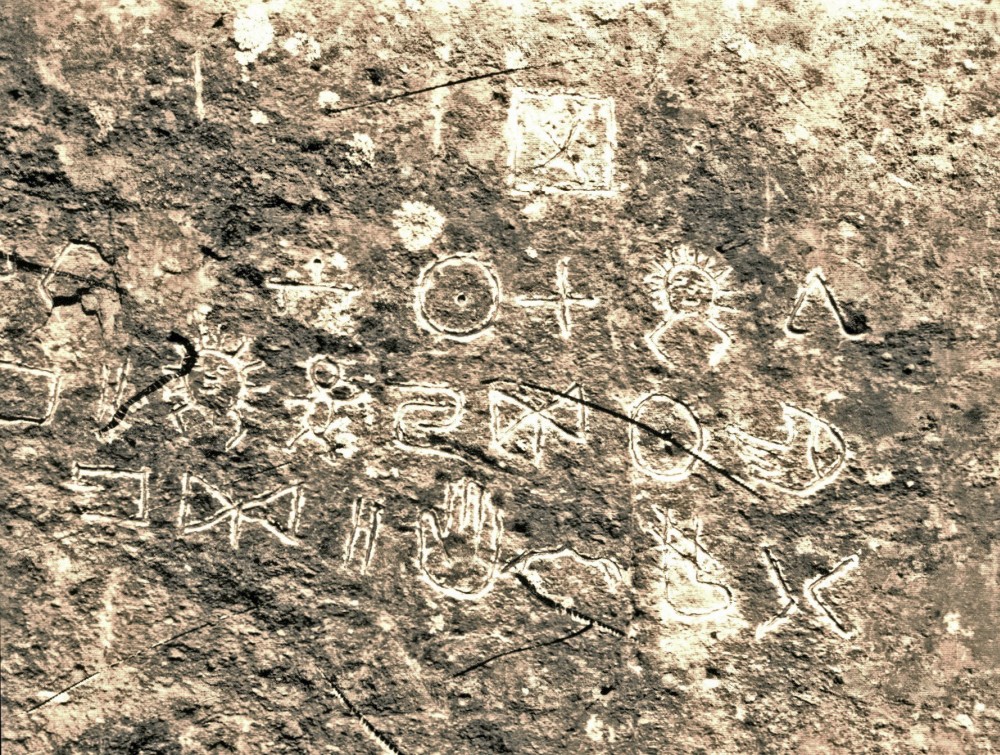 |
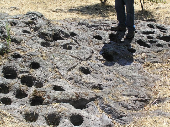
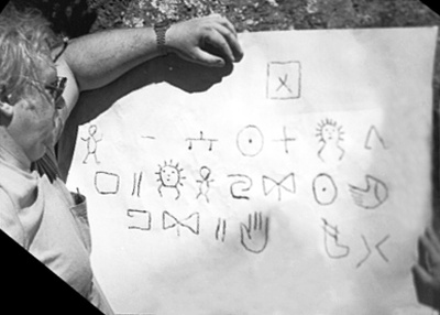
Rockville Bluffs Petroglyphs (private property - no public access allowed)
A petroglyph panel located somewhere in the Rockville area. Some attribute this panel to Suisun Indians, but it is more likely the work two Algonquin Indians who were part of an expedition led by John C. Fremont that in 1843 passed through the area. The petroglyphs are severely worn from people making paper and chalk rubbings on the soft volcanic rock.
|
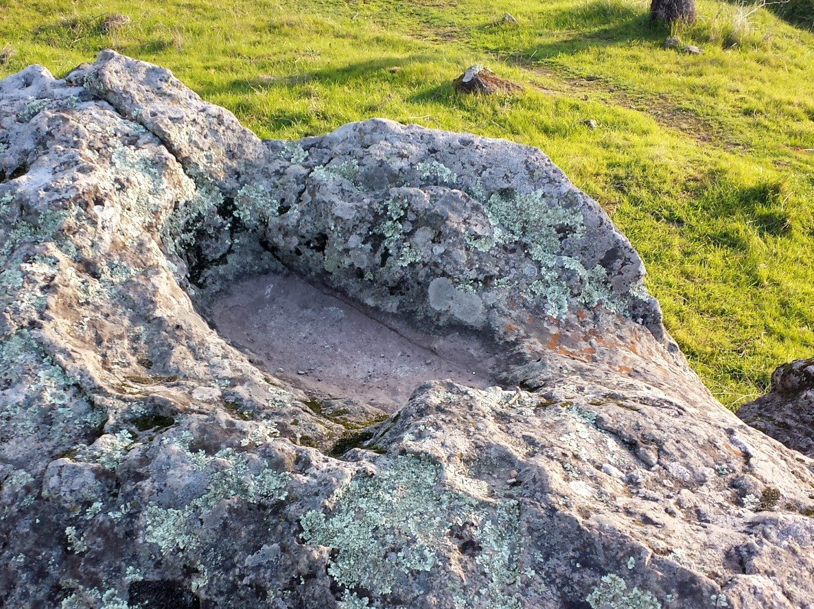 |
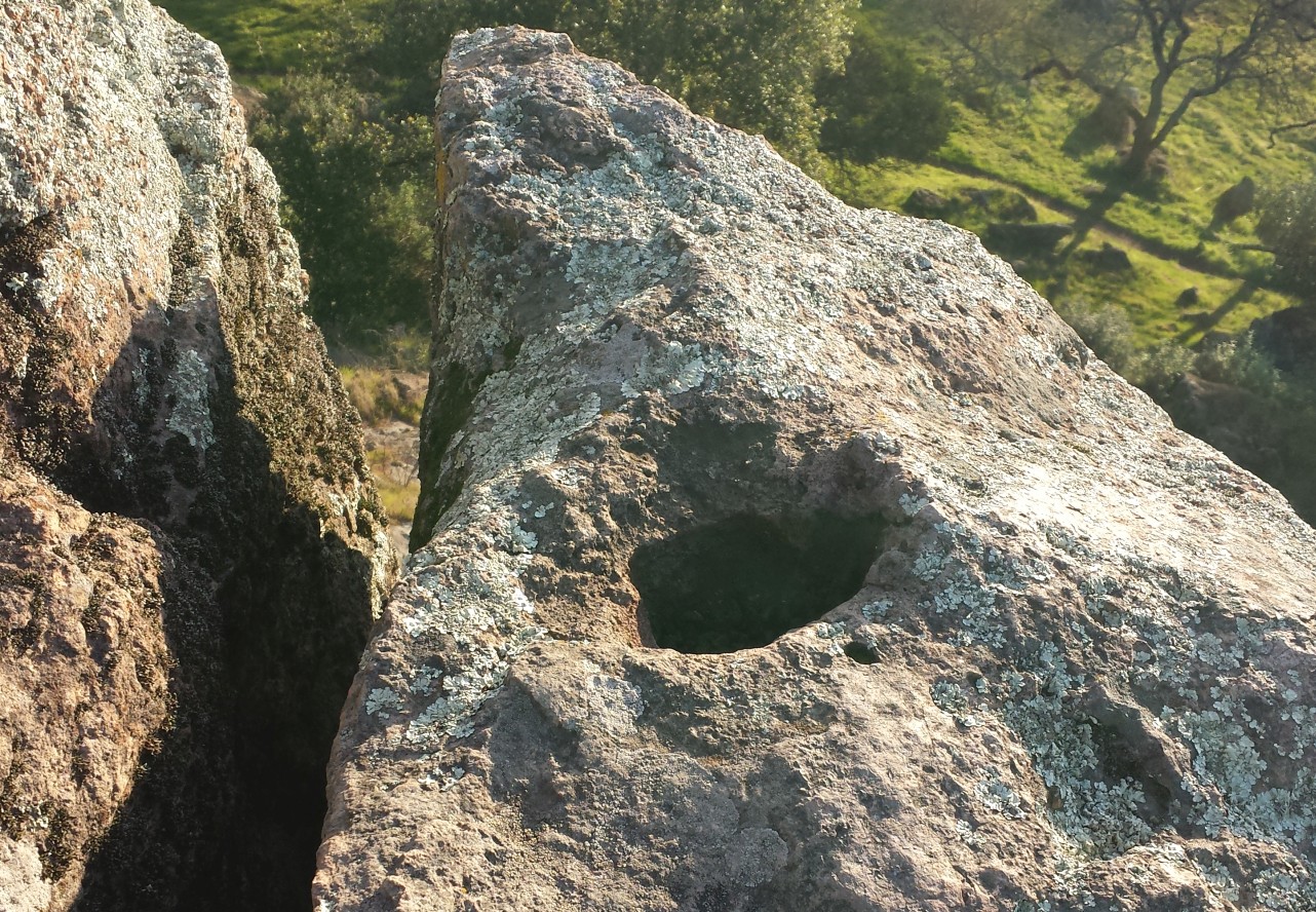
Rockville Hills Regional Park (open to the public)
There are a couple of trail guides that claim there are bedrock mortars here. However, all you are likely to find are gas pockets that formed in volcanic rocks (lower right photo) when the rocks were first born and in a semi-molten state. There is a rain water basin (left photo) with a rusty red stain that some might claim was made by Native Americans grinding up manzanita berries, but we don't buy it. We think the red is just a natural iron-oxide coating and not man-made.
|
Return to Archaeological Sites
| Copyright © 1998- - Carty Brothers, Inc. |